Header
Body
TR Consulting Services (TRCS) can create a PAVER database from scratch or by using existing pavement inventory information. We subdivide each pavement network into branches, sections, and sample units in accordance with ASTM standards. The network is a group of pavements that are managed together, such as a City. A branch is an area of pavement that shares a common use, such as a specific street. A section is defined as a contiguous pavement area within the branch that shares similar structural characteristics and loading conditions. For simplicity and planning, sections are commonly separated at intersections. Sections are then divided into surveyable areas, or sample units, for the inspection process.
The pavement database will also inventory various attributes such as geometry (length, width, area), surface type (asphalt, concrete, chip seal, etc.), use (roadway, parking, runway, etc.), rank (primary, secondary, tertiary) or functional classification (arterial, collector, local, etc.), construction work history, and any other desired user-defined fields. TRCS regularly uses ArcGIS software to link an agency’s geo-referenced shapefiles to the PAVER database so that users can utilize the mapping components of PAVER to visualize results. If the client already has a database in place, whether it be their own, the PAVER software, or another third-party software, TRCS can coordinate with the client to continue using the system in place, or to transfer all data into to a PAVER database.
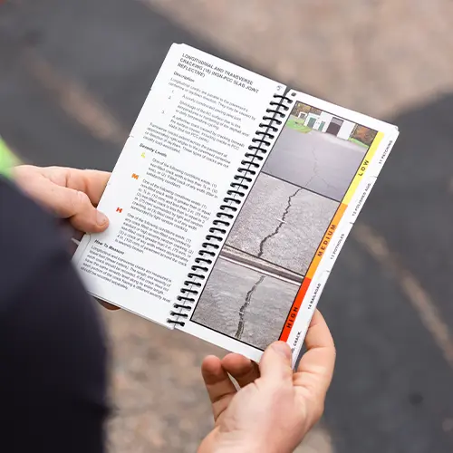
TRCS personnel are highly qualified and experienced in conducting network-wide or project-level pavement condition evaluations in accordance with ASTM D6433: Standard Practice for Roads and Parking Lots Pavement Condition Index Surveys and ASTM D5340: Standard Test Method for Airport Pavement Condition Index Surveys. PAVER and the Pavement Condition Index (PCI) method for roads and parking lots was developed in the late 1970s by the U.S. Army Corps of Engineers. It was further verified and adopted by the Department of Defense (DOD) and the American Public Works Association (APWA) to help agencies manage their vast networks of pavement.
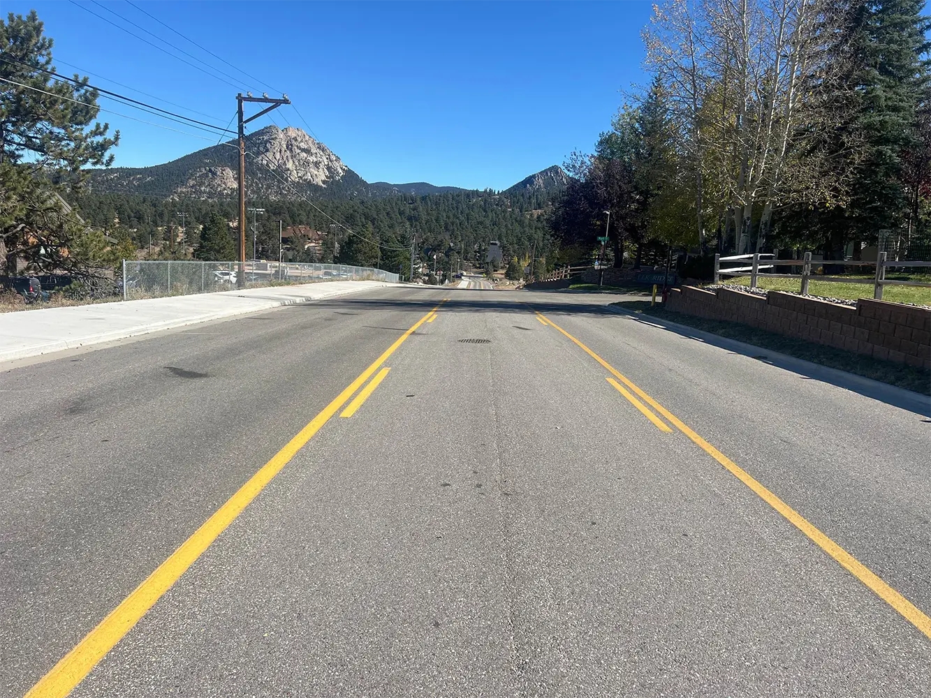
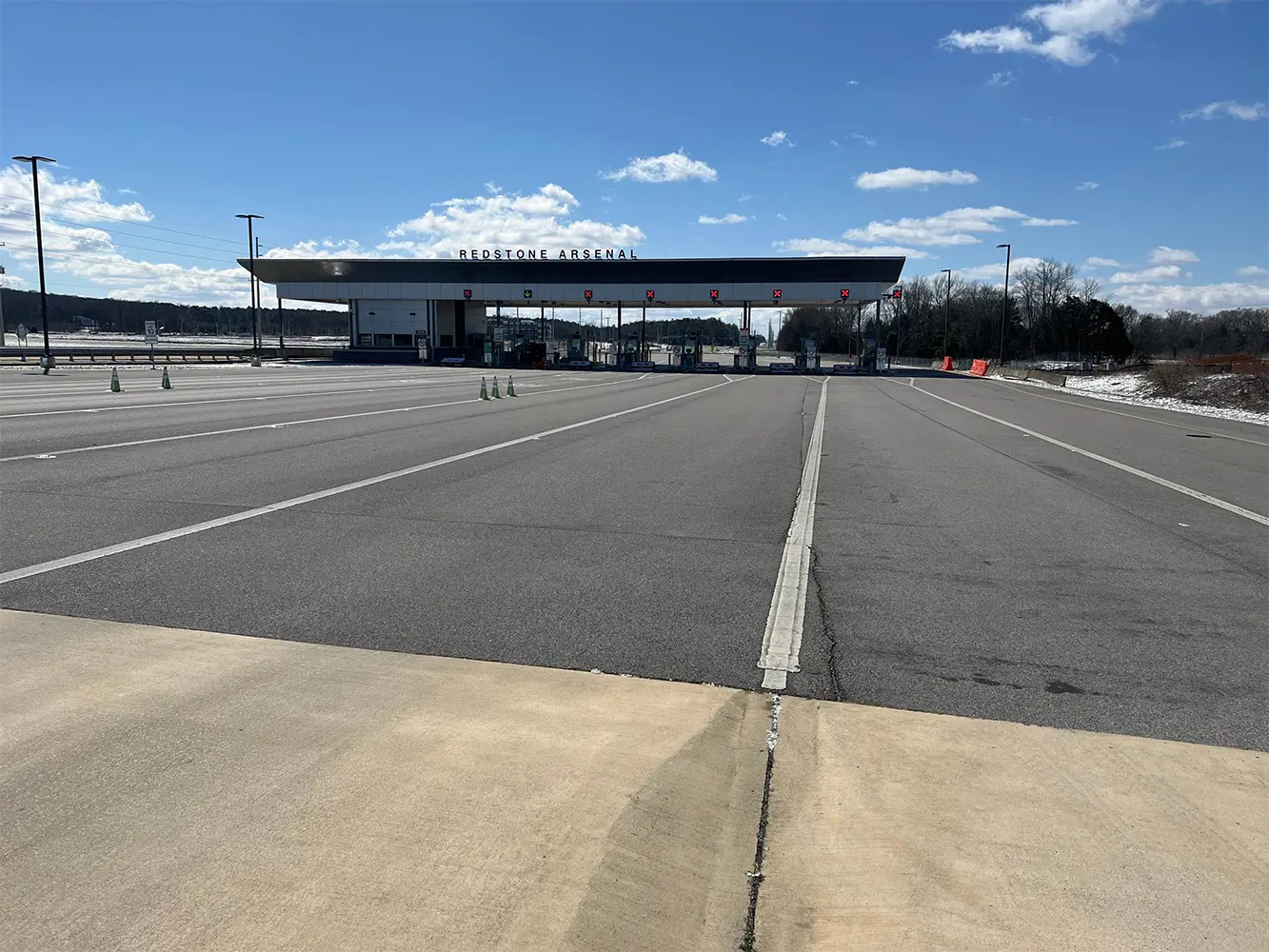
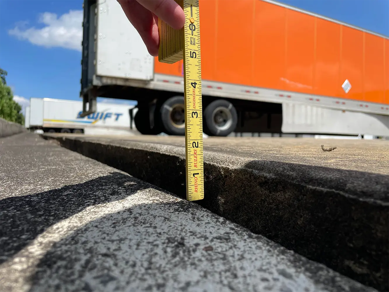
A PCI survey is a standardized procedure that documents the quantity and severity of pavement distresses existing in a sample unit area of pavement. Once this distress data has been collected for a pavement, a PCI value can be calculated. The PCI scale is used to objectively quantify a pavement's condition based on values ranging from 0 to 100, where 0 is a completely failed pavement and 100 is a perfect, newly constructed pavement. A typical PCI survey includes taking GPS-located photographs for every inspected sample unit to document the overall condition of the pavement as well as the location of observed distresses.
In addition to PCI evaluations, TRCS is capable of conducting field inspections or GPS surveys of various transportation-related assets. Some of these services are still condition surveys using the PCI methodology, such as inspecting the condition of paved trails or sidewalks. Other inspections that we offer rely on predetermined criteria, and examples include:

TRCS utilizes high resolution aerial imagery that combines the visual attributes of an aerial photograph with the spatial accuracy and reliability of a planimetric map. Using our proprietary inspection mobile application StreetSample, TRCS personnel can overlay the aerial imagery with the GIS inventory shapefile, which allows users to obtain the most accurate data and field-locating possible. The inspection team will know their exact location and can accurately inspect the required sample units, and can also use measure tools and place comments and photos at precise locations. TRCS can include the imagery in the background of any map in a final Pavement Management Report.
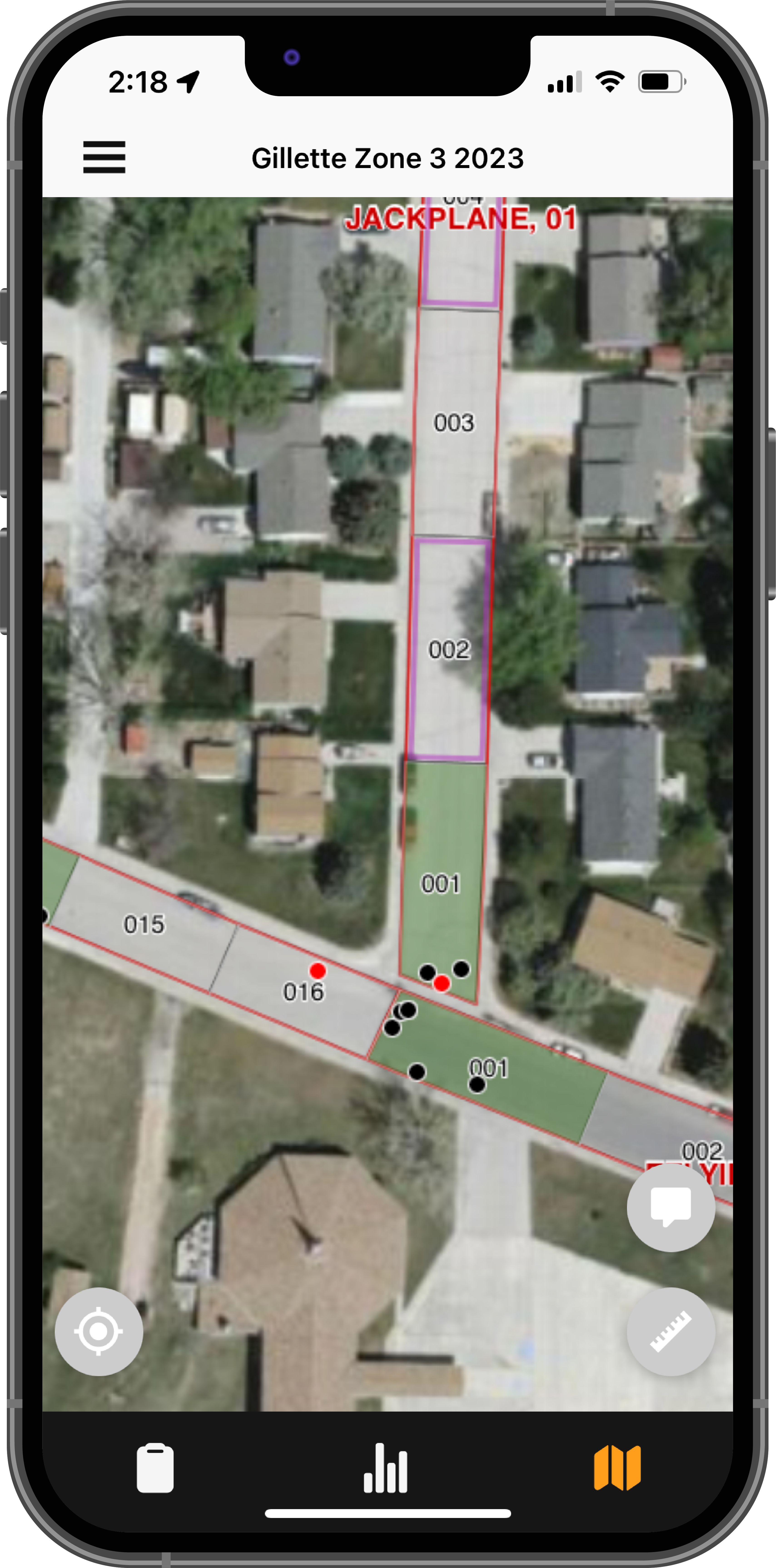
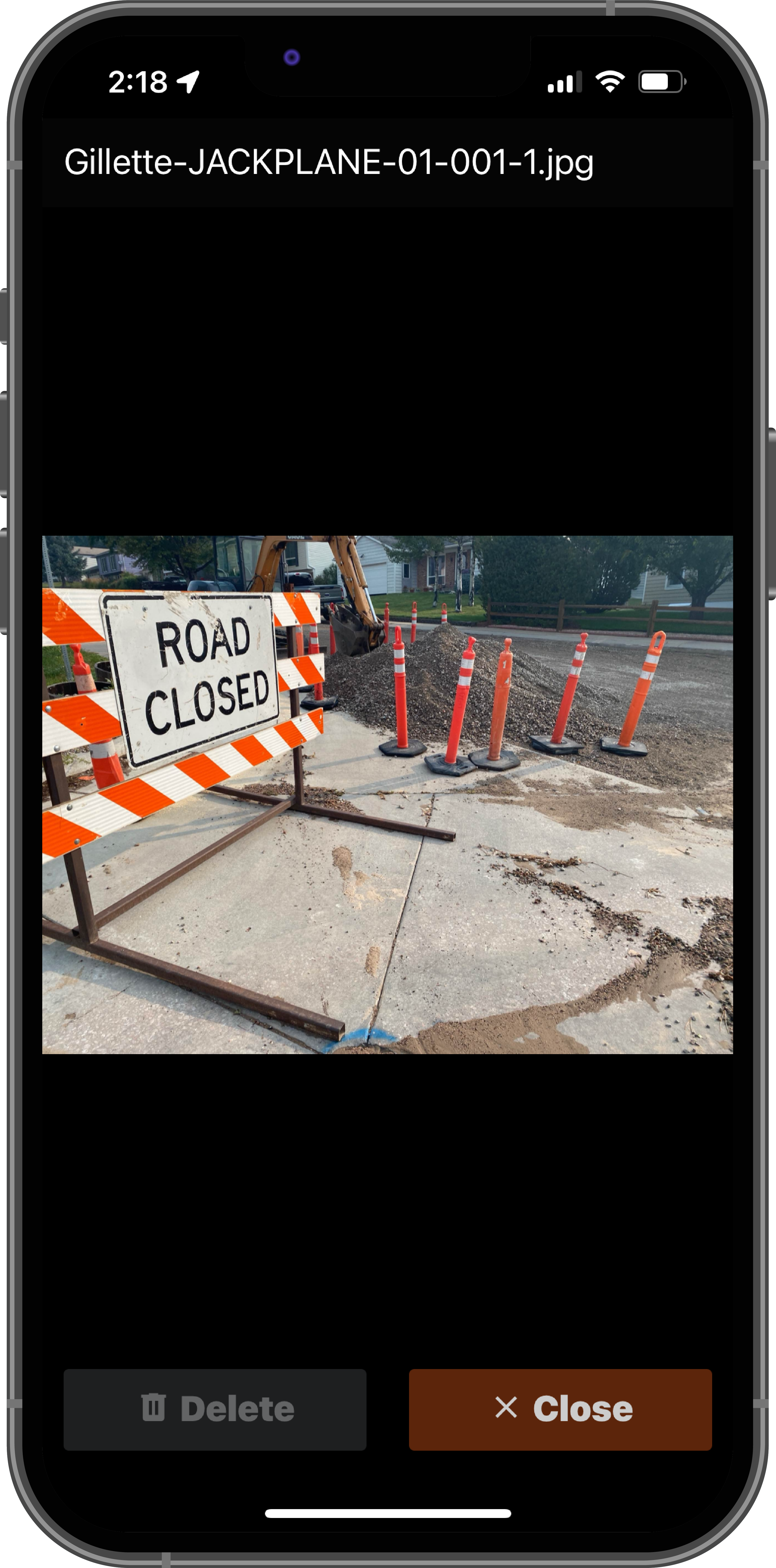
Photographs are taken during the inspections so that our team, as well as the client, can document conditions that were observed at the time of inspection rather than relying solely on the distress data and PCI value. At a minimum, two photographs are taken of each pavement sample unit to document the inspected conditions. With TRCS' mobile application, photographs and comments can be pin-pointed to precise locations, and the photographs are automatically titled based on the "Network-Branch-Section-Sample Unit-Photo Count" designation for simplified reference. The geotagged images are then mapped as a GIS point shapefile, representing each photo's location with a dot that can display the inspection photos using a hyperlink in ArcGIS.
Following the PCI data collection and entry into PAVER, our team performs data verification and multiple QA/QC techniques to ensure that no errors or inconsistencies exist within the collected data. Once complete, pavement deterioration families are created to model a pavement's condition regression over time. In this process, pavement sections that have similar surface type, use, and rank/functional classification are grouped together. Each grouping's deterioration model is populated with individual pavement section PCI vs. age data points to produce a family deterioration curve. These family curves are used to predict a pavement's critical PCI and future condition, which is an essential component of maintenance and rehabilitation (M&R) planning.
Customizable M&R strategies are created using the PAVER software along with forecasted traffic, material properties, environmental conditions, historical performance, and current construction projects. These strategies are used to generate multi-year M&R plans for all of the managed pavement area, or for a specified subset of pavement. Multiple budget scenarios can be developed including, but not limited to: eliminate backlog, maintain current condition or attain a specified condition, maintain annual budget or implement a specified budget, and stop gap/safety repairs. TRCS understands that M&R is not about a single treatment, nor is it a one-size-fits-all philosophy. Instead, pavement M&R activities must be tailored to each agency's needs in the most cost-effective manner. This involves using a variety of preventive treatments and pavement rehabilitation solutions aimed at extending pavement life while optimizing resources. The completion of any project and ongoing monitoring of pavement conditions enables our team to evaluate the effectiveness of that type of work, and we can work with the agency to determine whether changes should be made to the local M&R strategies.
TRCS compiles the inventory data, PCI results, inspection photographs, data analysis details, and M&R plans into a detailed written report with an accompanying map set of deliverables. Our reports contain an executive summary for simplified reference of key results and information, complete with budget scenarios and data-driven M&R recommendations.
TRCS personnel are highly qualified in implementing Geographic Information Systems (GIS) for pavement networks. A GIS can graphically display any information that is contained in a pavement database. Typically a pavement network GIS shapefile (lines or polygons) gets linked to the PAVER database, then values for each database field such as PCI, distress types and severities, surface type, age, and M&R recommendations can be displayed in a color-coded map. Additional information such as work history, crack seal condition, construction phasing, and nearly any database field can be displayed using the linked GIS shapefiles. TRCS regularly updates GIS shapefiles based on new construction or roadway realignment projects, or for annexation of pavements.
If you are a municipal, county, airport, military, state, or private sector engineer/manager/planner and are involved in pavement management/ inspection/ maintenance/ rehabilitation/ prioritization/ budget planning, then training to use the PAVER software can show you the most effective ways to maintain your pavement life and utilize your available budget. TRCS offers PAVER training for clients that want to better understand the functionality and specific features of the pavement management software. We can customize the training session depending on the needs of the client, focusing specifically on features that the client needs more detailed information on i.e. work history, entering condition data, generating prediction models, developing maintenance policies, GIS assignment, work planning, etc.